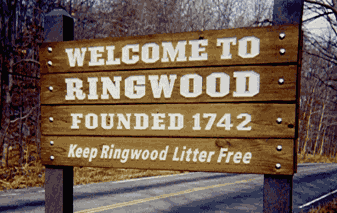
About Ringwood
Situated in the "Heart of the Highlands"
Ringwood sits in the Ramapo Mountains, and is loaded with lakes, parks, and forest trails. Geographically, it is about 40 miles northwest of New York City, and a few miles due west of Suffern, New York. Towns around Ringwood include West Milford to the west, Mahwah to the east and Oakland & Wanaque to the south. Ringwood is located in the area sometimes known as the "Highlands". Ringwood's telephone area code is 973. Our postal zip code is 07456. Ringwood's population as a result of the 2010 Census is 12,228 in 27.4 square miles.
For a brief history of the Borough seal, click here.
Lastly, Ringwood is located at Latitude 41 06 48 North and Longitude 74 14 45 West. Our elevation above sea level varies widely but is generally between 300' and 900' above sea level; The lakes are around 300 feet while Skyline Drive peaks at around 900 feet at its highest point.
Note: in snowy, winter weather, although beautiful, Skyline Drive and other roads may be closed. We suggest you call (973) 962-1212 for information on any road closures, should you plan to be traveling in our area. Here is a map showing where we are:
|
Contact Information
Ringwood Borough Hall
60 Margaret King Avenue,
Ringwood, NJ 07456
Main Number:
(973) 962-7037
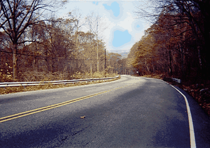
Headed over the mountain into Ringwood |